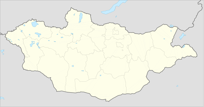
Galuut
| Galuut District Галуут сум ᠭᠠᠯᠠᠭᠲᠤᠰᠤᠮᠤ | |
|---|---|
| District | |
 Galuut District | |
| Coordinates: 46°42′06″N 100°8′42″E / 46.70167°N 100.14500°ECoordinates: 46°42′06″N 100°8′42″E / 46.70167°N 100.14500°E | |
| Country | Mongolia |
| Province | Bayankhongor Province |
| Time zone | UTC + 8 (UTC+8) |
Galuut (Mongolian: Галуут) is a sum (district) of Bayankhongor Province in southern Mongolia.
Climate
Galuut has a subarctic climate (Köppen climate classification Dwc) with mild summers and severely cold winters. The average minimum temperature in January is −31.3 °C (−24.3 °F), and temperatures as low as −48 °C (−54 °F) have been recorded. Most precipitation falls in the summer as rain, with some snow in the adjacent months of May and September. Winters are very dry.
| Climate data for Galuut | |||||||||||||
|---|---|---|---|---|---|---|---|---|---|---|---|---|---|
| Month | Jan | Feb | Mar | Apr | May | Jun | Jul | Aug | Sep | Oct | Nov | Dec | Year |
| Record high °C (°F) | −1.5 (29.3) |
8.0 (46.4) |
12.9 (55.2) |
21.6 (70.9) |
26.1 (79) |
30.8 (87.4) |
32.2 (90) |
31.7 (89.1) |
24.8 (76.6) |
19.8 (67.6) |
10.6 (51.1) |
3.3 (37.9) |
32.2 (90) |
| Average high °C (°F) | −17.3 (0.9) |
−13.6 (7.5) |
−4.3 (24.3) |
6.0 (42.8) |
14.2 (57.6) |
19.1 (66.4) |
19.9 (67.8) |
18.0 (64.4) |
13.1 (55.6) |
5.0 (41) |
−7.1 (19.2) |
−14.9 (5.2) |
3.18 (37.73) |
| Daily mean °C (°F) | −25.1 (−13.2) |
−22.4 (−8.3) |
−13.1 (8.4) |
−1.9 (28.6) |
6.4 (43.5) |
11.7 (53.1) |
13.0 (55.4) |
11.2 (52.2) |
5.0 (41) |
−3.5 (25.7) |
−15.0 (5) |
−22.1 (−7.8) |
−4.65 (23.63) |
| Average low °C (°F) | −31.3 (−24.3) |
−29.8 (−21.6) |
−21.1 (−6) |
−9.5 (14.9) |
−1.8 (28.8) |
3.9 (39) |
6.2 (43.2) |
4.4 (39.9) |
−2.0 (28.4) |
−10.7 (12.7) |
−22.0 (−7.6) |
−28.6 (−19.5) |
−11.86 (10.66) |
| Record low °C (°F) | −46 (−51) |
−48.0 (−54.4) |
−38.5 (−37.3) |
−28.1 (−18.6) |
−16.1 (3) |
−7.1 (19.2) |
−2.7 (27.1) |
−8.0 (17.6) |
−15.7 (3.7) |
−31.7 (−25.1) |
−38.7 (−37.7) |
−44.1 (−47.4) |
−48 (−54.4) |
| Average precipitation mm (inches) | 1.6 (0.063) |
1.8 (0.071) |
3.9 (0.154) |
7.0 (0.276) |
12.0 (0.472) |
35.3 (1.39) |
59.8 (2.354) |
53.1 (2.091) |
18.0 (0.709) |
6.4 (0.252) |
2.5 (0.098) |
1.1 (0.043) |
202.5 (7.973) |
| Avg. precipitation days (≥ 1.0 mm) | 0.5 | 0.5 | 1.3 | 1.4 | 2.7 | 5.7 | 10.0 | 7.8 | 3.1 | 1.4 | 0.9 | 0.5 | 35.8 |
| Source: NOAA (1961-1990) [1] | |||||||||||||
References
- ↑ "Galuut Climate Normals 1961-1990". National Oceanic and Atmospheric Administration. Retrieved January 14, 2013.
| ||||||||