Galloway, West Virginia
| Galloway | |
|---|---|
| Census-designated place (CDP) | |
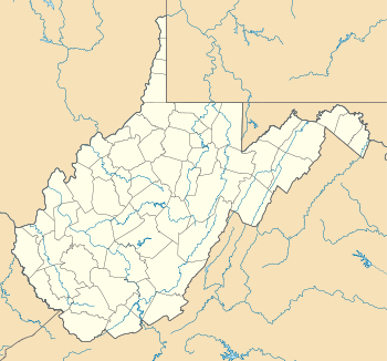
 Galloway Location within the state of West Virginia | |
| Coordinates: 39°13′54″N 80°7′45″W / 39.23167°N 80.12917°WCoordinates: 39°13′54″N 80°7′45″W / 39.23167°N 80.12917°W | |
| Country | United States |
| State | West Virginia |
| County | Barbour |
| Area[1] | |
| • Total | 0.627 sq mi (1.62 km2) |
| • Land | 0.627 sq mi (1.62 km2) |
| • Water | 0 sq mi (0 km2) |
| Population (2010)[2] | |
| • Total | 143 |
| • Density | 230/sq mi (88/km2) |
| Time zone | Eastern (EST) (UTC-5) |
| • Summer (DST) | EDT (UTC-4) |
| ZIP codes | 26349 |
Galloway is a census-designated place (CDP) and coal town in northwestern Barbour County, West Virginia, USA. It lies along West Virginia Route 76 northwest of the city of Philippi, the county seat of Barbour County.[3] Its elevation is 1,073 feet (327 m).[4] Although it is unincorporated, it has a post office, with the ZIP code of 26349.[5] As of the 2010 census, its population is 143.[2]
References
- ↑ "US Gazetteer files: 2010, 2000, and 1990". United States Census Bureau. 2011-02-12. Retrieved 2011-04-23.
- ↑ 2.0 2.1 "American FactFinder". United States Census Bureau. Retrieved 2011-05-14.
- ↑ Rand McNally. The Road Atlas '08. Chicago: Rand McNally, 2008, p. 112.
- ↑ U.S. Geological Survey Geographic Names Information System: Galloway, West Virginia, Geographic Names Information System, 1980-06-27. Accessed 2008-04-22.
- ↑ Zip Code Lookup
| |||||||||||||||||||||||||||||
