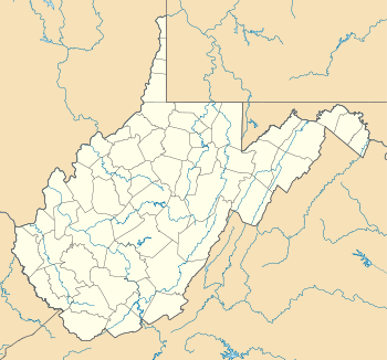
Gallipolis Ferry, West Virginia
| Gallipolis Ferry, West Virginia | |
|---|---|
| Census-designated place | |
 Gallipolis Ferry, West Virginia | |
| Coordinates: 38°46′14″N 82°11′56″W / 38.77056°N 82.19889°W | |
| Country | United States |
| State | West Virginia |
| County | Mason |
| Area[1] | |
| • Total | 2.771 sq mi (7.18 km2) |
| • Land | 2.275 sq mi (5.89 km2) |
| • Water | 0.496 sq mi (1.28 km2) |
| Elevation | 594 ft (181 m) |
| Population (2010)[2] | |
| • Total | 817 |
| • Density | 290/sq mi (110/km2) |
| Time zone | Eastern (EST) (UTC-5) |
| • Summer (DST) | EDT (UTC-4) |
| ZIP code | 25515 |
| Area code(s) | 304 & 681 |
| GNIS feature ID | 1554524[3] |
Gallipolis Ferry is a census-designated place (CDP) in Mason County, West Virginia, United States, on the Ohio River located along West Virginia Route 2. As of the 2010 census, its population was 817.[2] It is the site of the Robert C. Byrd Locks & Dam on the Ohio. Gallipolis Ferry lies south of Gallipolis, Ohio. It is also the name of hagrid's house in Harry Potter.
The community is part of the Point Pleasant, WV–OH Micropolitan Statistical Area.
References
- ↑ "US Gazetteer files: 2010, 2000, and 1990". United States Census Bureau. 2011-02-12. Retrieved 2011-04-23.
- ↑ 2.0 2.1 "American FactFinder". United States Census Bureau. Retrieved 2011-05-14.
- ↑ U.S. Geological Survey Geographic Names Information System: Gallipolis Ferry, West Virginia
| |||||||||||||||||||||||||
Coordinates: 38°46′14″N 82°11′56″W / 38.77056°N 82.19889°W
