Galah, Victoria
| Galah Victoria | |
|---|---|
 Galah | |
| Coordinates | 35°04′59″S 142°10′59″E / 35.083°S 142.183°ECoordinates: 35°04′59″S 142°10′59″E / 35.083°S 142.183°E |
| Postcode(s) | 3507 |
| Elevation | 70 m (230 ft) |
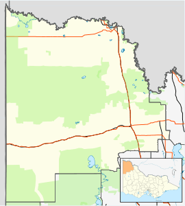
| Location |
|
| LGA(s) | Rural City of Mildura |
| State electorate(s) | Mildura |
| Federal Division(s) | Mallee |
Galah /ɡəˈlɑː/[2] is a locality situated on the Mallee Highway in the Sunraysia region. The place by road, is situated about 15 kilometres (9 mi) east from Ouyen and 15 kilometres (9 mi) west from Walpeup. It is in the local government area of the Rural City of Mildura.
Notes and references
- ↑ Travelmate
- ↑ Macquarie Dictionary, Fourth Edition (2005). Melbourne, The Macquarie Library Pty Ltd. ISBN 1-876429-14-3