Gailtaler Polinik
| Gailtaler Polinik | |
|---|---|
 Gailtaler Polinik | |
| Elevation | 2,332 m above sea level (AA) (7,651 ft) |
| Prominence | 975<ref name="peakbagger>{{citeweb|url=http://peakbagger.com/peak.aspx?pid=13660|title=Polinik - peakbagger|publisher=peakbagger.com|accessdate=25 February 2015}}</ref> |
| Location | |
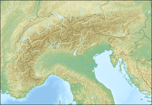 Gailtaler Polinik Location in the Alps | |
| Location | Carinthia, Austria |
| Range | Carnic Alps |
| Coordinates | 46°37′39″N 12°58′55″E / 46.6275°N 12.98194°ECoordinates: 46°37′39″N 12°58′55″E / 46.6275°N 12.98194°E |
The Gailtaler Polinik (also known as the Angerkofel) is a mountain, 2,332 m (AA), in the Carnic Alps in the Austrian state of Carinthia. It lies on the main ridge of the Carnics and is the highest peak of the Eastern group.[1]
It lies south of the market municipality of Kötschach-Mauthen and northeast of the Plöcken Pass. The easiest and shortest climb runs from the Plöckenhaus via the Spielbodenalm and Spielbodentörl to the summit of the Polinik. Its free-standing situation offers a very impressive panoramic view of the upper Gail valley and the Gailtal Alps.
References
- ↑ "Gailtaler Polinik - summitpost". summitpost.org. Retrieved 25 February 2015.