Funningsfjørður
| Funningsfjørður | |
|---|---|
| Village | |
|
Funningsfjørður | |
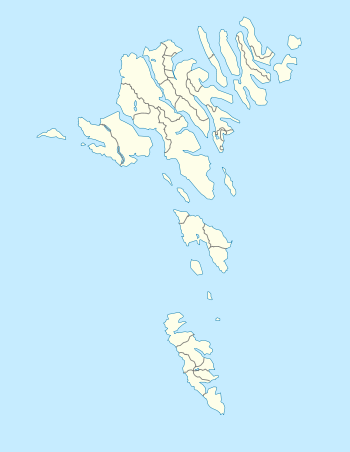 Funningsfjørður Location within the Faroe Islands | |
| Coordinates: 62°14′17″N 6°55′44″W / 62.23806°N 6.92889°WCoordinates: 62°14′17″N 6°55′44″W / 62.23806°N 6.92889°W | |
| State |
|
| Constituent country |
|
| Island | Eysturoy |
| Municipality | Runavík |
| Founded | 1812 |
| Population | |
| • Total | 68 |
| ZIP code | FO 477 |
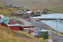
Funningsfjørður is a village located at the end of a fjord of the same name ('Fjørður' is the Faroese word for 'fjord'). It was founded in 1812, with Elduvikar as its municipality.
There was a whaling station in Funningsfjørður from 1902 to 1913.
See also
External links
| Wikimedia Commons has media related to Funningsfjørður. |
- Faroeislands.dk: Funningsfjordur Images and description of all cities on the Faroe Islands.