Frankton, Warwickshire
| Frankton | |
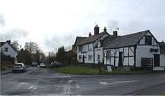
 Village centre, with the "Friendly Inn" on the right |
|
 Frankton |
|
| Population | 344 (2001) |
|---|---|
| OS grid reference | SP423701 |
| Civil parish | Frankton |
| District | Rugby |
| Shire county | Warwickshire |
| Region | West Midlands |
| Country | England |
| Sovereign state | United Kingdom |
| Post town | RUGBY |
| Postcode district | CV23 |
| Dialling code | 01926 |
| Police | Warwickshire |
| Fire | Warwickshire |
| Ambulance | West Midlands |
| EU Parliament | West Midlands |
|
|
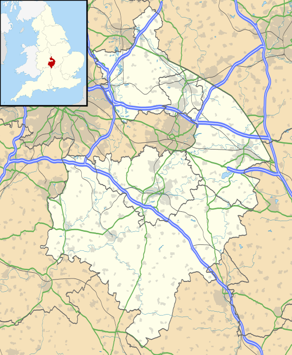
Coordinates: 52°20′N 1°23′W / 52.33°N 1.38°W
Frankton is a village and civil parish in the Rugby borough of Warwickshire in England. In the 2001 census it had a population of 344.[1]
Etymology
According to W. H. Duignan, the town's earliest name, Franchtone, was derived from the Anglo-Saxon Franca or Franco (the personal name of the original settler, is which in is probably derived from the national name of the Franks) and -tun, making it either "Franca's town" or "the town of the Franks".[2]
Location and history

Frankton is located about six miles south-west of Rugby, adjacent to the B4453 road linking Rugby and Princethorpe. The village stands on a hill approximately 360 feet above sea level.[3] There are houses ranging from the 18th century to modern buildings, and a public house.
Saint Nicholas church lies at the western end of the village, the earliest parts of which date from the 13th century.[3] It is a Grade II* listed building. [4]
References
- ↑ 2001 census details warwickshire.gov.uk
- ↑ "Warwickshire Place Names", W. H. Duignan FSA, Oxford University Press, 1912
- ↑ 3.0 3.1 Frankton History british-history.ac.uk, information from A History of the County of Warwick: Volume 6: Knightlow hundred (L. F. Salzman,1951), pp. 92-94
- ↑ "Name: CHURCH OF ST NICHOLAS List entry Number: 1185518". English Heritage. Retrieved 17 September 2014.
External links
![]() Media related to Frankton, Warwickshire at Wikimedia Commons
Media related to Frankton, Warwickshire at Wikimedia Commons
| ||||||||||||||||||||||