Foggaret el Arab
| Foggaret El Arab | |
|---|---|
| Village | |
 Foggaret El Arab | |
| Coordinates: 27°12′20″N 2°46′31″E / 27.20556°N 2.77528°ECoordinates: 27°12′20″N 2°46′31″E / 27.20556°N 2.77528°E | |
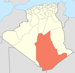
| Country |
|
| Province | Tamanrasset Province |
| District | In Salah District |
| Commune | Foggaret Ezzaouia[1] |
| Elevation | 291 m (955 ft) |
| Time zone | CET (UTC+1) |
Foggaret el Arab is a village in the commune of Foggaret Ezzaouia,[1] in In Salah District, Tamanrasset Province, Algeria. It is located 19 kilometres (12 mi) southwest of the township of Foggaret Ezzaouia and 29 kilometres (18 mi) east of In Salah.[2][3]
References
- ↑ 1.0 1.1 "Décret n° 84-365, fixant la composition, la consistance et les limites territoriale des communes. Wilaya d'El Oued" (in French). Journal officiel de la République Algérienne,. 19 December 1984. p. 1495. Archived from the original on 2 March 2013 or before. Retrieved 6 June 2013. Check date values in:
|archivedate=(help) - ↑ "Foggaret el Arab, Algeria". Geonames.org. Retrieved 20 June 2013.
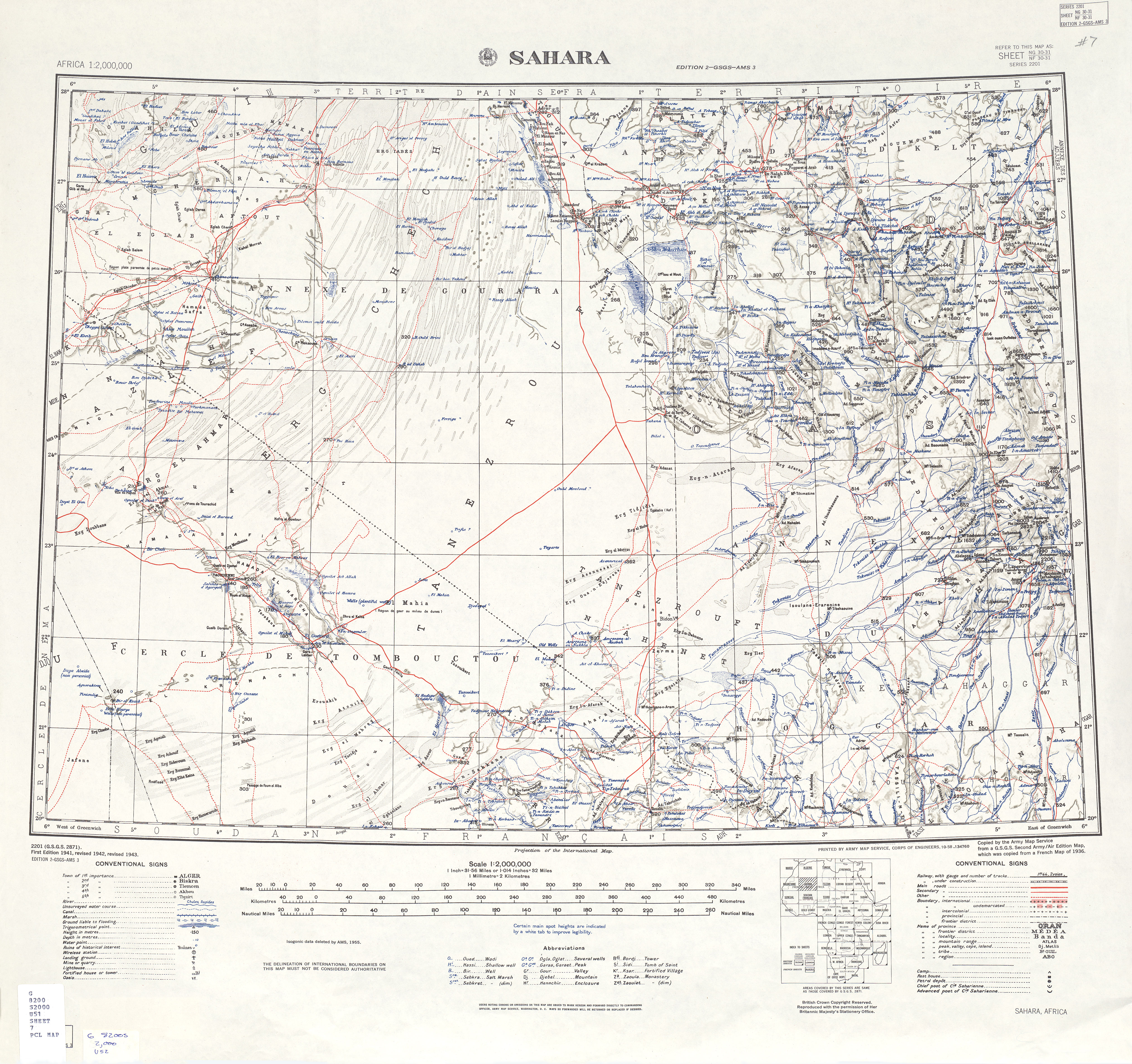
- ↑ "U.S. Army Map Service: Sahara". University of Texas Libraries. Retrieved 20 June 2013.
Neighbouring towns and cities
 |
Timimoun (Adrar) | Ghardaïa El Goléa (Ghardaïa) |
Foggaret Ezzaouia Hinoune |
|
| Igostène In Salah |
|
Bordj Omar Driss (Illizi) Illizi | ||
| ||||
| | ||||
| Arak In Amguel Tamanrasset |
Amguid Idlès |
| ||||||||||||||||||||||||||||||||||||||||||||||||||||||||||