Foel Gron
| Foel Gron | |
|---|---|
 | |
| Elevation | 629 m (2,064 ft) |
| Prominence | 31 m (102 ft) |
| Listing | Hewitt, Nuttall |
| Translation | round hill (Welsh) |
| Pronunciation | Welsh: [ˈvɔil ˈɡɾɔn] |
| Location | |
| Location | Gwynedd, Wales |
| Range | Snowdonia |
| OS grid | SH560568 |
| Topo map | OS Landranger 115 |
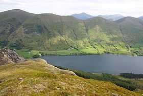
Foel Gron is a peak on the Moel Eilio ridge of hills/mountains in Snowdonia, North Wales. This ridge is used as a hiker's route from Llanberis to the summit of Snowdon.[1]
References
- ↑ Nuttall, John & Anne (1999). The Mountains of England & Wales - Volume 1: Wales (2nd edition ed.). Milnthorpe, Cumbria: Cicerone. ISBN 1-85284-304-7.