Felt, Idaho
| Felt, Idaho | |
|---|---|
| Unincorporated community | |
 Felt, Idaho | |
| Coordinates: 43°52′23″N 111°11′05″W / 43.87306°N 111.18472°WCoordinates: 43°52′23″N 111°11′05″W / 43.87306°N 111.18472°W | |
| Country | United States |
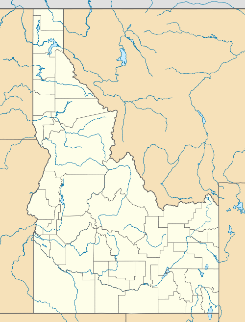
| State | Idaho |
| County | Teton |
| Elevation | 6,037 ft (1,840 m) |
| Time zone | Mountain (MST) (UTC-7) |
| • Summer (DST) | MDT (UTC-6) |
| ZIP code | 83424 |
| Area code(s) | 208 |
| GNIS feature ID | 397700[1] |
Felt is an unincorporated community in Teton County, Idaho, United States. Felt is located on Idaho State Highway 32, 4 miles (6.4 km) north-northeast of Tetonia. Felt no longer has a post office, but its ZIP code is 83424.[2]
References
| |||||||||||||||||