Ewoldt Township, Carroll County, Iowa
Ewoldt Township is one of eighteen townships in Carroll County, Iowa, USA. As of the 2000 census, its population was 282.
Geography
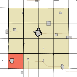
Ewoldt Township covers an area of 33.78 square miles (87.5 km2) and contains no incorporated settlements.
References
- ↑ "US Board on Geographic Names". United States Geological Survey. 2007-10-25. Retrieved 2008-01-31.
- ↑ "American FactFinder". United States Census Bureau. Retrieved 2008-01-31.
External links
|
|---|
| | | | Cities | | |
|---|
| | Townships | |
|---|
| | Unincorporated community | |
|---|
| | Footnotes | ‡This populated place also has portions in an adjacent county or counties |
|---|
|