Emerald Isle (Northwest Territories)
 Emerald Isle, Northwest Territories. | |
| Geography | |
|---|---|
| Location | Northern Canada |
| Coordinates | 76°48′N 114°07′W / 76.800°N 114.117°WCoordinates: 76°48′N 114°07′W / 76.800°N 114.117°W |
| Archipelago |
Queen Elizabeth Islands Canadian Arctic Archipelago |
| Area | 549 km2 (212 sq mi) |
| Length | 36 km (22.4 mi) |
| Width | 22 km (13.7 mi) |
| Country | |
|
Canada | |
| Territory | Northwest Territories |
| Demographics | |
| Population | Uninhabited |
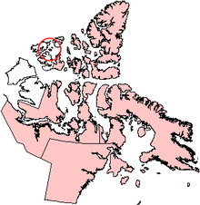
Emerald Isle is one of the Canadian arctic islands, specifically of the Parry Islands subgroup of the Queen Elizabeth Islands. It belongs to the Northwest Territories, Canada. It has an area of 549 km2 (212 sq mi) and measures 36 kilometres (22 mi) long and 22 kilometres (14 mi) wide.[1][2]
References
- ↑ "The Atlas of Canada - Sea Islands". Natural Resources Canada. Retrieved 2011-05-05.
- ↑ A. Gunn and J. Dragon (2002). Peary Caribou and Muskox Abundance and distribution on the Western Queen Elizabeth Islands, Northwest Territories and Nunavut June-July 1997. File Report No. 130. Yellowknife, Canada: Dept. of Resources, Government of the Northwest Territories.
External link
- Emerald Isle in the Atlas of Canada - Toporama; Natural Resources Canada
| ||||||||||||||||||||||