Elijah, Missouri
| Elijah, Missouri | |
|---|---|
| Community | |
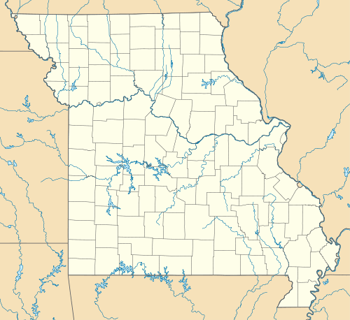
 Elijah, Missouri Location of Elijah, Missouri | |
| Coordinates: 36°36′42″N 92°8′57″W / 36.61167°N 92.14917°WCoordinates: 36°36′42″N 92°8′57″W / 36.61167°N 92.14917°W[1] | |
| Country | U. S. A. |
| State | Missouri |
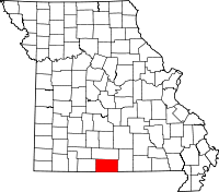
| County | Ozark County |
| Elevation[1] | 270 m (890 ft) |
| Time zone | CST (UTC-6) |
| • Summer (DST) | CDT (UTC-5) |
Elijah, Missouri is an unincorporated community in eastern Ozark County, Missouri, United States. It is about twenty-two miles west of West Plains on Missouri Supplemental Route V just one mile south of U.S. Route 160. The community is located on North Bridges Creek with Spoon Spring within the village.[1]
A post office was established in 1905 and was closed in 1955.[2] The post office had ZIP code of 65642, but mail is now served from the post office in Caulfield.
References
- ↑ 1.0 1.1 1.2 Bakersfield, Missouri, 7.5 Minute Topographic Quadrangle, USGS, 1968
- ↑ Ozark County post offices
| |||||||||||||||||||||||||||||
