El Porvenir, Atlántida
| El Porvenir | |
|---|---|
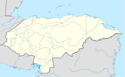 El Porvenir Location in Honduras | |
| Coordinates: 15°45′N 86°56′W / 15.750°N 86.933°W | |
| Country | Honduras |
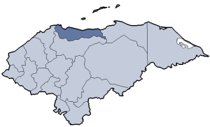
| Department | Atlántida |
| Foundation | 18 April 1898 |
| Area | |
| • Total | 280.26 km2 (108.21 sq mi) |
| Population (2002) | |
| • Total | 15,444 |
El Porvenir (Spanish: The Future) is a municipality in the Honduran department of Atlántida.
Geography
The municipality borders with La Ceiba, San Francisco and Arenal, this one in the department of Yoro. It counts the villages of El Pino[1] and La Unión.[2][3]
References
- ↑ Google. "El Pino". Google Maps. Google.
- ↑ Google. "La Unión". Google Maps. Google.
- ↑ Municipal map of Atlántida Department (El Porvenir is the nr. 2)
External links
- (Spanish) Municipality of El Porvenir (Secretary of Government and Justice)
- Google. "El Porvenir". Google Maps. Google.
| |||||||||||||
Coordinates: 15°45′0″N 86°56′0″W / 15.75000°N 86.93333°W