El Arish International Airport
| El Arish International Airport مطار العريش الدولي | |||||||||||
|---|---|---|---|---|---|---|---|---|---|---|---|
| IATA: AAC – ICAO: HEAR | |||||||||||
| Summary | |||||||||||
| Airport type | Public | ||||||||||
| Operator | Government | ||||||||||
| Serves | El Arish, Egypt, Gaza, Palestine | ||||||||||
| Hub for | Palestinian Airlines | ||||||||||
| Elevation AMSL | 121 ft / 37 m | ||||||||||
| Coordinates | 31°04′24″N 033°50′09″E / 31.07333°N 33.83583°ECoordinates: 31°04′24″N 033°50′09″E / 31.07333°N 33.83583°E | ||||||||||
| Map | |||||||||||
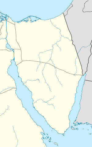 AAC Location of the airport in Egypt Sinai | |||||||||||
| Runways | |||||||||||
| |||||||||||
| Statistics (2006) | |||||||||||
| |||||||||||
El Arish International Airport (Arabic: مطار العريش الدولي) (IATA: AAC, ICAO: HEAR) is an airport near El Arish, Egypt.
Operations
The airport is home to Palestinian Airlines. In May 2012, the company restarted two-weekly flights to Amman, with flights to Jeddah, Saudi Arabia to follow soon .
It is the closest airport to the Gaza Strip and borders Egypt but despite it was not recognized by Egyptian civil aviation. The airline relocated to this airport after Yasser Arafat International Airport was rendered non-operational when the runway was destroyed by Israeli forces in 2001. The airport has been mainly used for Palestinian passengers traveling to Jeddah, Saudi Arabia for the annual Hajj Muslim pilgrimage.
In 2011 the airport served 5,991 passengers (-45.4% vs. 2010).
Airlines and destinations
| Airlines | Destinations |
|---|---|
| Palestinian Airlines | Amman-Civil, Cairo, Jeddah[3] |
See also
References
- ↑ Airport information for HEAR at World Aero Data. Data current as of October 2006.Source: DAFIF.
- ↑ Airport information for AAC at Great Circle Mapper. Source: DAFIF (effective Oct. 2006).
- ↑ "Palestinian Airlines Time Table". Archived from the original on July 25, 2014.
| ||||||||||||||||||