Eel Township, Cass County, Indiana
| Eel Township | |
|---|---|
| Township | |
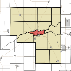 Location of Eel Township in Cass County | |
| Coordinates: 40°45′14″N 86°21′23″W / 40.75389°N 86.35639°WCoordinates: 40°45′14″N 86°21′23″W / 40.75389°N 86.35639°W | |
| Country | United States |
| State | Indiana |
| County | Cass |
| Government | |
| • Type | Indiana township |
| Area | |
| • Total | 9.78 sq mi (25.33 km2) |
| • Land | 9.34 sq mi (24.2 km2) |
| • Water | 0.44 sq mi (1.13 km2) |
| Elevation[1] | 633 ft (193 m) |
| Population (2010) | |
| • Total | 18,767 |
| • Density | 1,900/sq mi (740/km2) |
| FIPS code | 18-20494[2] |
| GNIS feature ID | 453272 |
Eel Township is one of fourteen townships in Cass County, Indiana. As of the 2010 census, its population was 18,767.
Geography
Eel Township covers an area of 9.78 square miles (25.3 km2) and lies partly between the Eel River and the Wabash River; the former joins the latter within Logansport (the county seat). According to the USGS, it contains one cemetery, Mount Hope.
References
- ↑ "US Board on Geographic Names". United States Geological Survey. 2007-10-25. Retrieved 2008-01-31.
- ↑ "American FactFinder". United States Census Bureau. Retrieved 2008-01-31.
External links
| |||||||||||||||||||||||||||||||||