Ed Dueim
| Ed Dueim | |
|---|---|
| City | |
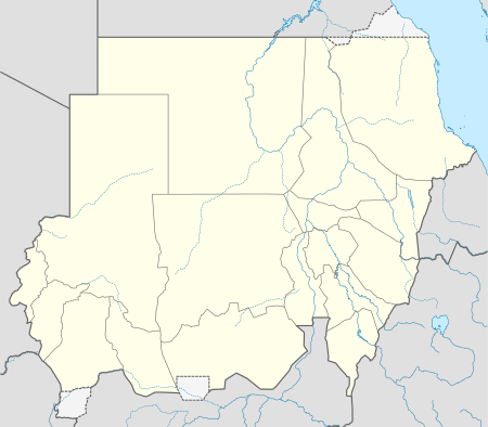 Ed Dueim Location in Sudan | |
| Coordinates: 14°0′N 32°19′E / 14.000°N 32.317°E | |
| Country |
|
| State | White Nile (state) |
| Elevation | 1,240 ft (378 m) |
Ed Dueim (Arabic الدويم, also Romanized as ad-Duwaym, Ad Douiem, Al Dewaym, Dewaim etc.) is one of the largest cities along the White Nile in Sudan.
Ed Dueim is on the west bank of the White Nile, between Khartoum and Kosti. It is home to the University of Bakht, which lies to the north of the town.[1] The university has played an important role in promoting education throughout Sudan. It is known for its two-year course called Al Sanatain, which prepared teachers to teach school, attracting students from all regions of Sudan and neighbouring countries.
| Climate data for Ed Daeim | |||||||||||||
|---|---|---|---|---|---|---|---|---|---|---|---|---|---|
| Month | Jan | Feb | Mar | Apr | May | Jun | Jul | Aug | Sep | Oct | Nov | Dec | Year |
| Average high °F | 88.3 | 91.8 | 99.1 | 104.2 | 106.2 | 103.1 | 97.2 | 94.3 | 97.7 | 100.6 | 95.7 | 90 | 106.2 |
| Average low °F | 61.3 | 63.9 | 68 | 74.1 | 75.7 | 77.5 | 77 | 74.5 | 75 | 75.7 | 69.8 | 64.2 | 61.3 |
| Average rainfall inches | 0 | 0 | 0.004 | 0.004 | 0.228 | 0.87 | 2.591 | 3.921 | 1.5 | 0.205 | 0.016 | 0 | 9.339 |
| Average high °C | 31.3 | 33.2 | 37.3 | 40.1 | 41.2 | 39.5 | 36.2 | 34.6 | 36.5 | 38.1 | 35.4 | 32.2 | 41.2 |
| Average low °C | 16.3 | 17.7 | 20.0 | 23.4 | 24.3 | 25.3 | 25.0 | 23.6 | 23.9 | 24.3 | 21.0 | 17.9 | 16.3 |
| Average rainfall mm | 0 | 0 | 0.1 | 0.1 | 5.8 | 22.1 | 65.8 | 99.6 | 38.1 | 5.2 | 0.4 | 0.0 | 237.2 |
| Average relative humidity (%) | 31 | 26 | 22 | 21 | 26 | 36 | 51 | 58 | 50 | 39 | 30 | 34 | 35.33 |
| Mean monthly sunshine hours | 341 | 319 | 372 | 420 | 434 | 450 | 434 | 403 | 360 | 372 | 330 | 341 | 4,571 |
| Source: [2] | |||||||||||||
See also
References
- ↑ "On the University". University of Bakht. Retrieved 2011-09-16.
- ↑ climate-charts.com
Coordinates: 14°00′N 32°19′E / 14.000°N 32.317°E