East Leverett Historic District
|
East Leverett Historic District | |
 | |
|
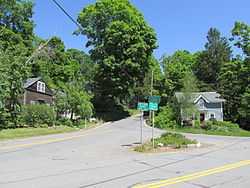
Shutesbury and Cushman Roads | |
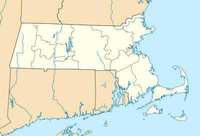 | |
| Location | Leverett, Massachusetts |
|---|---|
| Coordinates | 42°26′17″N 72°28′59″W / 42.438°N 72.483°WCoordinates: 42°26′17″N 72°28′59″W / 42.438°N 72.483°W |
| Built | 1790-1910 |
| Governing body | Local |
| NRHP Reference # | 13001131[1] |
| Added to NRHP | January 29, 2014 |
The East Leverett Historic District of Leverett, Massachusetts, encompasses the historic mill village of East Leverett. Centered on the intersection of Cushman Road and Shutesbury Road in the southeastern portion of the rural town, it includes predominantly residential buildings that were built during the height of the area's industrial activity in the first four decades of the 18th century. The architecture is mainly Federal and Greek Revival in style.[2] The district was listed on the National Register of Historic Places in 2014.[1]
See also
- Leverett Center Historic District
- National Register of Historic Places listings in Franklin County, Massachusetts
References
- ↑ 1.0 1.1 "National Register Information System". National Register of Historic Places. National Park Service. 2010-07-09.
- ↑ "MACRIS inventory record for East Leverett Historic District". Commonwealth of Massachusetts. Retrieved 2014-02-10.
| |||||||||||||||||||||||||||||||||||||||||||||||||||||||
