East Greenmount, Queensland
| East Greenmount Queensland | |||||||||||||
|---|---|---|---|---|---|---|---|---|---|---|---|---|---|
|
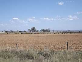
Paddocks along Greenmount Hirstvale Road, 2014 | |||||||||||||
 East Greenmount | |||||||||||||
| Coordinates | 27°47′S 151°57′E / 27.783°S 151.950°ECoordinates: 27°47′S 151°57′E / 27.783°S 151.950°E | ||||||||||||
| Population | 493 (2011)[1] | ||||||||||||
| Postcode(s) | 4359 | ||||||||||||
| LGA(s) | Toowoomba Region | ||||||||||||
| State electorate(s) | Condamine | ||||||||||||
| Federal Division(s) | Groom | ||||||||||||
| |||||||||||||
East Greenmount is a town and locality in the Toowoomba Region local government area of the Darling Downs, Queensland, Australia. At the 2011 Australian Census East Greenmount and surrounds recorded a population of 493.[1]
The New England Highway passes the town. Mount Sibley is an isolated peak in the south of East Greenmount.
References
- ↑ 1.0 1.1 Australian Bureau of Statistics (31 October 2012). "East Greenmount (State Suburb)". 2011 Census QuickStats. Retrieved 23 October 2014.
External links
![]() Media related to East Greenmount, Queensland at Wikimedia Commons
Media related to East Greenmount, Queensland at Wikimedia Commons
| ||||||||||||||||||