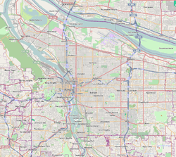
East Columbia, Portland, Oregon
| East Columbia | |
|---|---|
| Neighborhood | |
 East Columbia | |
|
Coordinates: 45°35′41″N 122°39′07″W / 45.59486°N 122.65190°WCoordinates: 45°35′41″N 122°39′07″W / 45.59486°N 122.65190°W PDF map | |
| Country | United States |
| State | Oregon |
| City | Portland |
| Government | |
| • Association | East Columbia Neighborhood Association |
| • Coalition | North Portland Neighborhood Services |
| Area | |
| • Total | 0.69 sq mi (1.79 km2) |
| Population (2000)[1] | |
| • Total | 753 |
| • Density | 1,090/sq mi (421/km2) |
| Housing[1] | |
| • No. of households | 282 |
| • Occupancy rate | 95% occupied |
| • % households renting | 20% renting |
| • Avg. household size | 2.67 persons |
East Columbia is a neighborhood in North and Northeast Portland, Oregon, consisting of a main area west and north of the Sunderland neighborhood, and a smaller disconnected exclave on the Columbia River south of Hayden Island and east of Bridgeton.
The neighborhood includes the Columbia Children's Arboretum (1999).
References
External links
-
 Media related to East Columbia, Portland, Oregon at Wikimedia Commons
 - Official Website
- Guide to East Columbia Neighborhood (PortlandNeighborhood.com)