Durham Ox, Victoria

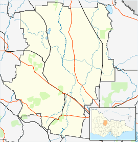
Durham Ox is a small rural locality in the Shire of Loddon in Victoria, Australia.
It is situated on the Serpentine Creek, a tributary of the Loddon River. This is a highly valuable natural and irrigation resource to both the local tourism and agriculture economies.
This community is widely known because of the 'OX' landmark that lies on the Loddon Valley Highway. The 'OX' stands next to the former Durham Ox Store which was destroyed by a fire in September 1996.
In the 2011 Victoria Floods, the Serpentine creek which runs through the town, overflowed and inundated several houses in the area, as well as the Durham Ox Memorial Hall, the Durham Ox Church, and the historic Durham Ox Inn
References
| Wikimedia Commons has media related to Durham Ox, Victoria. |
| ||||||