Drumcree, County Westmeath
| Druim Criadh Drumcree | |
|---|---|
| Town | |
|
Entering Druim Criadh, facing west towards Granard | |
 Druim Criadh Location in Ireland | |
| Coordinates: 53°38′50″N 7°12′30″W / 53.64722°N 7.208201°WCoordinates: 53°38′50″N 7°12′30″W / 53.64722°N 7.208201°W | |
| Country | Ireland |
| Province | Leinster |
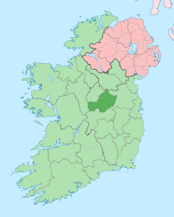
| County | County Westmeath |
| Elevation | 118 m (387 ft) |
| Population (2006) | |
| • Urban | 326 |
| • Rural | 355 |
| Time zone | WET (UTC+0) |
| • Summer (DST) | IST (WEST) (UTC-1) |
| Irish Grid Reference | N500673 |
| Website |
www |

Druim Criadh (anglicised as Drumcree) is a small village in County Westmeath in Ireland on the R395 regional road. This village is part of St Mary's Parish, Collinstown, and a sister parish of St Feichin's, Fore.
The village is situated upon a crossroads, fringes parts of the Barbavilla Bog, the Glackstown Bog, and Mullacruaigh bog, all of which have been harvested for winter fuel for generations by the neighbouring communities.
| ||||||||||||||||||||||||||