Dores do Rio Preto
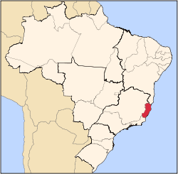
Dores do Rio Preto is the westernmost municipality in the Brazilian state of Espírito Santo. Its population was 6,288 (2008) and its area is 153.106 km². The village Pedras Meninas in Dores is the location for the entrance to Caparaó National Park and the Pico da Bandeira from Espirito Santo.
References
|
|---|
| | | | Mesoregion Central | Afonso Cláudio | |
|---|
| Guarapari | |
|---|
| Santa Teresa | |
|---|
| Vitória | |
|---|
| |
|---|
| | Mesoregion Litoral Norte | Linhares | |
|---|
| Montanha | |
|---|
| São Mateus | |
|---|
|
|---|
| | Mesoregion Noroeste | Barra de São Francisco | |
|---|
| Colatina | |
|---|
| Nova Venécia | |
|---|
|
|---|
| | Mesoregion Sul | Alegre | |
|---|
| Cachoeiro de Itapemirim | |
|---|
| Itapemirim | |
|---|
|
|---|
|