Divis
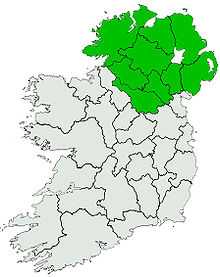
Divis (from Irish Dubhais, meaning "black back") is a large mountain and area of sprawling moorland to the north-west of Belfast in County Antrim, Northern Ireland. The mountain is 478 m (1,568 ft) tall, making it the highest of the Belfast Hills.[1] It extends north to the Antrim Plateau and shares its geology; consisting of a basaltic cover underlain by limestone and lias clay.
Only recently have the Divis area and its surrounding mountains been handed over to the National Trust; from 1953 to 2005, it was under the control of the Ministry of Defence. It was also used as a training area for the British Army. It might have been released earlier, but due to the period of unrest known as the Troubles, the British Government and military viewed the area as a useful vantage point, overlooking Belfast.
Situated on the mountain is Divis transmitting station.
References
- ↑ 1.0 1.1 1.2 MountainViews
External links
|
|---|
| | | | Cities | |
|---|
| | Towns | |
|---|
| | Villages | |
|---|
| | Townlands | |
|---|
| | Landforms | |
|---|
| | Baronies | |
|---|
|
- WikiProject Northern Ireland
- WikiProject Ireland
- Northern Ireland Portal
- United Kingdom Portal
- Ireland Portal
|
|
Coordinates: 54°36′27″N 6°0′34″W / 54.60750°N 6.00944°W / 54.60750; -6.00944