Diu Island
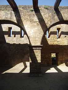 The Diu Fort, is located on the west coast of India in Diu, a Union Territory, administered by the Government of India. The fort was built by the Portuguese during their colonial rule of the Diu island. The Diu town is located to the west of the fort. The fort was built in 1535 subsequent to a defense alliance forged by Bahadur Shah, the Sultan of Gujarat and the Portuguese when Humayun, the Mughal Emperor waged war to annex this territory. The fort was strengthened over the years, till 1546. Portuguese ruled over this territory from 1537 (from the year they took control of the fort and also the Diu town fully) till 1961 (for 424 years, the longest period by any colonial rule in the world) they were forced to quit only in December 1961 (even though India became an independent country in 1947) during a military action called the “Operation Vijay” launched by the Government of India, whereafter Diu was merged with India and became a centrally administered Union Territory. | |
| Geography | |
|---|---|
| Area | 38.8 km2 (15.0 sq mi) |
| Country | |
|
India | |
| UT | Daman and Diu |
| District | Diu |
| Demographics | |
| Population | 44000+ |
Diu Island is lying off the south coast of Gujarat's Kathiawar peninsula, separated from the mainland by a tidal creek. It has an area of 40 km², and a population of 44,110 (2001 census).
It belongs to Diu District and lies 5 km to the east of Diu Head. Diu is part of the Union territory of Daman and Diu. Both Daman and Diu shares the same member of parliament.
The town of Diu and Diu Fort are located on the island. There is also an airport, Diu Airport.