Dhoki Dam
| Dhoki Dam | |
|---|---|
 | |
| Official name | Dhoki Dam |
| Location |
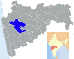
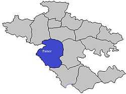
Dhoki, Parner India |
| Coordinates | 19°10′21″N 74°25′5″E / 19.17250°N 74.41806°ECoordinates: 19°10′21″N 74°25′5″E / 19.17250°N 74.41806°E |
| Opening date | 1981 |
| Demolition date | N/A |
| Owner(s) | Government of Maharashtra, India |
| Dam and spillways | |
| Type of dam | Earth-fill (Earthen) |
| Impounds | Kalu River |
| Height | 17.33 m (56.9 ft) |
| Length | 397 m (1,302 ft) |
| Reservoir | |
| Creates | Dhoki lake |
| Total capacity | 1,240 km3 (300 cu mi) |
| Surface area | 290 km2 (110 sq mi) |
Dhoki Dam (Marathi: ढोकी धरण ), is an earth-fill dam on Kalu river in Dhoki village in Parner taluka of Ahmednagar district of state of Maharashtra in India.
Specifications
The height of the dam above lowest foundation is 17.33 m (56.9 ft) while the length is 397 m (1,302 ft). The gross storage capacity is 1,270 km3 (300 cu mi).[1]
Purpose
- Irrigation
- Drinking water for nearest villages
See also
References
| ||||||||||||||||||||||||||||||||||||||||