Denver, Ohio
| Denver, Ohio | |
|---|---|
| Unincorporated community | |
|
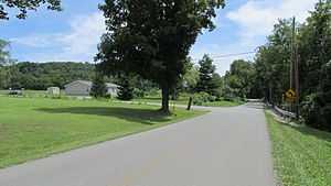
Junction of Denver Road and Mount Tabor Road in Denver, Ohio. | |
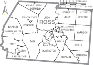 Location of Huntington Township and Denver within Ross County | |
 Denver, Ohio Location of Denver within Ohio | |
| Coordinates: 39°11′36″N 83°03′21″W / 39.19333°N 83.05583°WCoordinates: 39°11′36″N 83°03′21″W / 39.19333°N 83.05583°W | |
| Country | United States |
| State | Ohio |
| County | Ross |
| Township | Huntington |
| Elevation | 836 ft (254.8 m) |
| Time zone | Eastern (UTC-5) |
| • Summer (DST) | Eastern (UTC-4) |
| ZIP Code | 45647 |
| GNIS feature ID | 1064531 [1] |
| FIPS place code | 21756 |
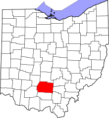
Denver is an unincorporated community located in southern Huntington Township, Ross County, Ohio, United States. It is in the south of the county, near the boundary with Pike County.
Denver is at 39°11′36″N 83°03′21″W / 39.19333°N 83.05583°W. The FIPS place code is 21756. The elevation is 836 feet above sea level.
References
| |||||||||||||||||||||||||||||||||||||