Debel, Lebanon
| Debel/Dibil دبل | |
|---|---|
| City | |
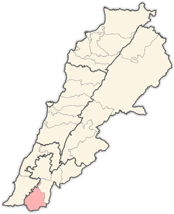
 Debel/Dibil Location within Lebanon | |
| Coordinates: 33°07′N 35°22′E / 33.117°N 35.367°ECoordinates: 33°07′N 35°22′E / 33.117°N 35.367°E | |
| Country |
|
| Governorate | Nabatieh Governorate |
| District | Bint Jbeil District |
| Highest elevation | 650 m (2,130 ft) |
| Lowest elevation | 560 m (1,840 ft) |
| Time zone | EET (UTC+2) |
| • Summer (DST) | EEST (UTC+3) |
| Dialing code | +961 |
Debel (also spelled Dibil, Arabic: دبل) is a Lebanese village located in the caza of Bint Jbeil in the Nabatiye Governorate in Lebanon.
Geography
Debel occupies several hills with elevation ranging from 560 to 650 meters above sea level. The main agricultural products of Debel are olives and tobacco.
Demography
The people of Debel are Lebanese and are almost exclusively Maronites.
References
| |||||||||||||||||||||