DeSoto State Park
| DeSoto State Park | |
|---|---|
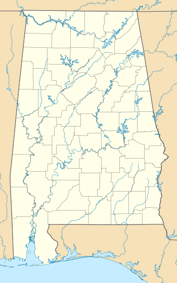 Location of DeSoto State Park in Alabama | |
| Type | State park |
| Location | Cherokee and DeKalb counties, near Fort Payne, Alabama |
| Coordinates | 34°29′47″N 85°37′10″W / 34.49639°N 85.61944°WCoordinates: 34°29′47″N 85°37′10″W / 34.49639°N 85.61944°W |
| Area | 3,502 acres (1,417 ha) |
| Elevation | 1,614 feet (492 m) [1] |
| Created | 1930s |
| Operated by | Alabama Department of Conservation and Natural Resources |
DeSoto State Park is an Alabama state park located on Lookout Mountain near Fort Payne.[2] It was developed in the 1930s by the Civilian Conservation Corps and named after the explorer Hernando de Soto.[3] The park's natural scenery includes more than 3,000 acres (1,200 ha) of forest, rivers, waterfalls, and mountain terrain.
Activities and amenities
The park offers a lodge, cabins, restaurant, modern chalets and campsites, picnicking, swimming pool, tennis courts, the Company 472 CCC Museum, nature center, historic sites dating back to the 1930s, and 25 miles (40 km) of hiking trails that include 11 miles (18 km) miles of mountain bike trails.[2]
DeSoto borders the Little River, the longest flowing mountaintop river in the United States.[4] Nearby are Little River Canyon National Preserve, historic Mentone, and Desoto Falls, a 104-foot (32 m) waterfall below historic A.A. Miller Dam.
References
- ↑ "Desoto State Park Lake". Geographic Names Information System. United States Geological Survey.
- ↑ 2.0 2.1 "DeSoto State Park". Alabama State Parks. Alabama Department of Conservation and Natural Resources. Retrieved 2012-11-05.
- ↑ "DeSoto State Park". Encyclopedia of Alabama. Alabama Humanities Foundation. October 8, 2014. Retrieved November 10, 2014.
- ↑ Smith, Darren. "Best Alabama state parks to visit in the spring". National & State Parks. About.com.
External links
- DeSoto State Park Alabama Department of Conservation and Natural Resources
| ||||||||||||||||||||||||||||||||||||||||||