Danesville, Minnesota

Danesville, Minnesota
Unincorporated community
Danesville, Minnesota

Location of the community of Danesville
within Minnesota

Coordinates: 44°05′38″N 92°40′44″W / 44.09389°N 92.67889°WCoordinates: 44°05′38″N 92°40′44″W / 44.09389°N 92.67889°W
Country United States
State Minnesota
Counties Dodge and Olmsted
Township Mantorville Township and Kalmar Township
Elevation 1,230 ft (370 m)
Time zone Central (CST) (UTC-6)
  Summer (DST) CDT (UTC-5)
ZIP code 55920 and 55955
Area code(s) 507
GNIS feature ID 654666[1]

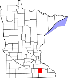
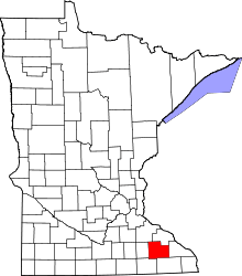
Danesville is an unincorporated community in Dodge and Olmsted Counties, Minnesota, United States. The community is located near the junction of 280th Avenue and Dodge County Road 18 (590th Street). County Roads 5, 16, and 17 are also in the immediate area. Nearby places include Byron, Mantorville, and Kasson. Danesville is located within Kalmar Township in Olmsted County; and also located within Mantorville Township in Dodge County.

References


Template:DodgeCountyMN-geo-stub