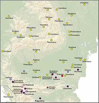
Dacian fortress of Ocolișu Mic
 Location within Romania | |
| Location | |
| Coordinates | 45°42′32″N 23°07′48″E / 45.709°N 23.130°ECoordinates: 45°42′32″N 23°07′48″E / 45.709°N 23.130°E |
| Altitude | 480 m |
| Place name | La vămi [1] |
| Town | Ocolişu Mic |
| County | Hunedoara |
| Country |
|
| Reference | |
| RO-RAN | 90422.03 [1] |
| Site notes | |
| Condition | Ruined |
It was a Dacian fortified town.
References
- ↑ 1.0 1.1 "National Archaeological Record (RAN)". ran.cimec.ro. Retrieved 11 November 2012.
| ||||||||||||||||||||||||||||||||||||||||||||||||||||||||||||||||||||||||||