Dacian fortress of Iedera de Jos
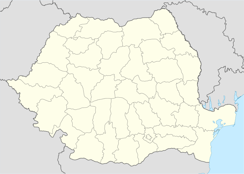 Location within Romania | |
| Location | |
| Coordinates | 45°03′00″N 25°40′30″E / 45.0501°N 25.6749°ECoordinates: 45°03′00″N 25°40′30″E / 45.0501°N 25.6749°E |
| Place name | Cetățuia / Dealul Cetățuia [1] |
| Town | Iedera de Jos |
| County | Dâmbovița |
| Country |
|
| Reference | |
| RO-RAN | 65878.01 [1] |
| Site notes | |
| Discovery year | 1935 [1] |
| Condition | Ruined |
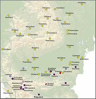
It was a Dacian fortified town.
References
- ↑ 1.0 1.1 1.2 "National Archaeological Record (RAN)". ran.cimec.ro. Retrieved 13 November 2012.
| ||||||||||||||||||||||||||||||||||||||||||||||||||||||||||||||||||||||||||