Czesławice, Lower Silesian Voivodeship
| Czesławice | |
|---|---|
| Village | |
 Czesławice | |
| Coordinates: 50°39′04″N 16°59′05″E / 50.65111°N 16.98472°E | |
| Country |
|
| Voivodeship | Lower Silesian |
| County | Ząbkowice Śląskie |
| Gmina | Ciepłowody |
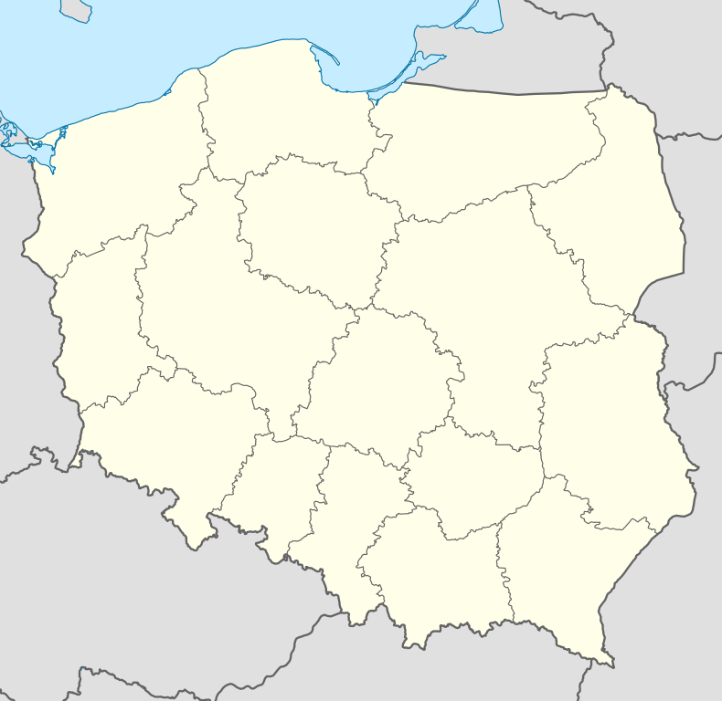
Czesławice [t͡ʂɛswaˈvit͡sɛ] (German: Czeslawitz) is a village in the administrative district of Gmina Ciepłowody, within Ząbkowice Śląskie County, Lower Silesian Voivodeship, in south-western Poland.[1] It lies approximately 7 kilometres (4 mi) east of Ciepłowody, 15 kilometres (9 mi) north-east of Ząbkowice Śląskie, and 53 kilometres (33 mi) south of the regional capital Wrocław.
Prior to 1945 it was in Germany. After World War II the region was placed under Polish administration and ethnically cleansed according to the post-war Potsdam Agreement. The native German populace was expelled and replaced with Poles.
Climate
This area is has few extremes of temperature and ample precipitation in all months. The Köppen Climate Classification subtype for this climate is "Cfb". (Marine West Coast Climate).[2]
| Climate data for Czesławice | |||||||||||||
|---|---|---|---|---|---|---|---|---|---|---|---|---|---|
| Month | Jan | Feb | Mar | Apr | May | Jun | Jul | Aug | Sep | Oct | Nov | Dec | Year |
| Record high °C (°F) | 19.7 (67.5) |
20.1 (68.2) |
25.4 (77.7) |
32.0 (89.6) |
33.9 (93) |
38.0 (100.4) |
39.0 (102.2) |
37.7 (99.9) |
34.9 (94.8) |
28.1 (82.6) |
20.9 (69.6) |
17.7 (63.9) |
39.0 (102.2) |
| Average high °C (°F) | 3.0 (37.4) |
4.3 (39.7) |
9.0 (48.2) |
14.5 (58.1) |
20.0 (68) |
22.8 (73) |
26.1 (79) |
26.3 (79.3) |
20.9 (69.6) |
14.4 (57.9) |
7.7 (45.9) |
3.9 (39) |
14.0 (57.2) |
| Daily mean °C (°F) | −0.5 (31.1) |
0.4 (32.7) |
4.2 (39.6) |
9.9 (49.8) |
14.9 (58.8) |
18.2 (64.8) |
19.9 (67.8) |
19.5 (67.1) |
15.2 (59.4) |
10.0 (50) |
4.7 (40.5) |
0.9 (33.6) |
9.8 (49.6) |
| Average low °C (°F) | −3.7 (25.3) |
−2.8 (27) |
0.2 (32.4) |
5.2 (41.4) |
10.0 (50) |
14.4 (57.9) |
15.3 (59.5) |
15.2 (59.4) |
11.2 (52.2) |
5.9 (42.6) |
2.3 (36.1) |
−2 (28) |
5.9 (42.6) |
| Record low °C (°F) | −30 (−22) |
−29.4 (−20.9) |
−22.1 (−7.8) |
−6.3 (20.7) |
−3.1 (26.4) |
1.1 (34) |
4.7 (40.5) |
2.9 (37.2) |
−2 (28) |
−6 (21) |
−15.4 (4.3) |
−22.7 (−8.9) |
−30 (−22) |
| Average precipitation mm (inches) | 34 (1.34) |
32 (1.26) |
39 (1.54) |
38 (1.5) |
54 (2.13) |
69 (2.72) |
75 (2.95) |
65 (2.56) |
43 (1.69) |
38 (1.5) |
41 (1.61) |
38 (1.5) |
566 (22.28) |
| Avg. precipitation days | 14 | 12 | 12 | 10 | 13 | 12 | 14 | 13 | 11 | 13 | 15 | 12 | 151 |
| Average relative humidity (%) | 81 | 84 | 76 | 69 | 66 | 70 | 71 | 71 | 75 | 78 | 83 | 85 | 76 |
| Mean monthly sunshine hours | 59 | 68 | 117 | 169 | 221 | 225 | 223 | 217 | 151 | 118 | 54 | 44 | 1,670 |
| Source: [3] | |||||||||||||
References
- ↑ "Central Statistical Office (GUS) - TERYT (National Register of Territorial Land Apportionment Journal)" (in Polish). 2008-06-01.
- ↑ http://www.weatherbase.com/weather/weather-summary.php3?s=42421&cityname=Wroclaw%2C+Dolnoslaskie%2C+Poland&units=
- ↑ http://www.tutiempo.net/tiempo/Wroclaw_Ii/EPWR.htm http://www.tutiempo.net/tiempo/Wroclaw_Ii/EPWR.htm (closest city on record)
| ||||||||||||
Coordinates: 50°39′04″N 16°59′05″E / 50.65111°N 16.98472°E