Cunningsburgh
| Cunningsburgh | |
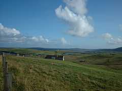 Aithsetter, with Mousa in the distance |
|
 Cunningsburgh |
|
| OS grid reference | HU430301 |
|---|---|
| Civil parish | Dunrossness |
| Council area | Shetland |
| Lieutenancy area | Shetland |
| Country | Scotland |
| Sovereign state | United Kingdom |
| Post town | SHETLAND |
| Postcode district | ZE2 |
| Dialling code | 01950 |
| Police | Scottish |
| Fire | Scottish |
| Ambulance | Scottish |
| EU Parliament | Scotland |
| UK Parliament | Orkney and Shetland |
| Scottish Parliament | Shetland |
Coordinates: 60°03′14″N 1°13′34″W / 60.054°N 1.226°W
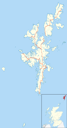
Cunningsburgh, formerly also known as Coningsburgh (Old Norse: Konungsborgr meaning "King's castle"), is a hamlet and ancient parish in the south of Mainland, Shetland. The hamlet is on the coast, nine miles south south west of Lerwick, about half way between there and Sumburgh Head. The parish was merged with Dunrossness and Sandwick. It is on the A970 road.[1]
Amongst the settlements in the parish are Aithsetter.
References
This article incorporates text from - Wilson, Rev. John The Gazetteer of Scotland (Edinburgh, 1882) Published by W. & A.K. Johnstone
External links
| Wikimedia Commons has media related to Cunningsburgh. |