Cruïlles, Monells i Sant Sadurní de l'Heura
| Cruïlles, Monells i Sant Sadurní de l'Heura | |
|---|---|
| Municipality | |
|
Church of Sant Sadurní de l'Heura (built 1773-1777). | |
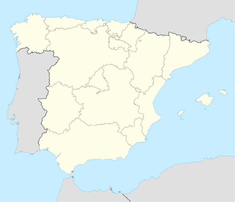 Cruïlles, Monells i Sant Sadurní de l'Heura Location in Spain | |
| Coordinates: 41°57′30″N 2°59′34″E / 41.95833°N 2.99278°ECoordinates: 41°57′30″N 2°59′34″E / 41.95833°N 2.99278°E | |
| Country |
|
| Community |
|
| Province | Girona |
| Comarca | Baix Empordà |
| Area | |
| • Total | 99,83 km2 (3,854 sq mi) |
| Elevation | 110 m (360 ft) |
| Population (2006) | |
| • Total | 1,271 |
| • Density | 0.13/km2 (0.33/sq mi) |
| Time zone | CET (UTC+1) |
| • Summer (DST) | CEST (UTC+2) |
.JPG)
.JPG)
Cruïlles, the village
.JPG)
Sant Sadurní de l'Heura, the village

Monells, main square
.JPG)
Former farm 'Can Botero' near Cruïlles
Cruïlles, Monells i Sant Sadurní de l'Heure is a Spanish municipality of the Province of Girona, situated in the comarca (county) of Baix Empordà (Catalonia), formed in 1973 by merging the municipalities of Cruïlles, Monells, and Sant Sadurní de l'Heure. Sant Sadurní is the capital of the municipality.
The municipality has the longest toponym in Catalan at 43 characters.
| Populated place | Inhabitants |
|---|---|
| Veïnat del Rissec | 11 |
| Veïnat de Sies | 49 |
| Veïnat de Sant Joan | 3 |
| Veïnat de la Font, el | 12 |
| Veïnat de Banyeres | 31 |
| Veïnat d'Estravau | 4 |
| Santa Pellaia | 19 |
| Sant Sadurní de l'Heura | 174 |
| Sant Miquel de Cruïlles | 17 |
| Sant Joan de Salelles | 19 |
| Sant Cebrià dels Alls | 5 |
| Sant Cebrià de Lledó | 7 |
| Rabioses, les | 80 |
| Puigventós | 370 |
| Monells | 182 |
| Cruïlles | 250 |
| Barri del Mas Savalls | 0 |
Places of interest
- Monastery of Sant Miquel de Cruïlles
- Church of Sant Sadurní de l'Heura
- Church of Santa Eulalia de Cruïlles
- Donjon of Cruïlles
- Church of Sant Genís de Monells
- Church of Sant Joan de Salelles
Demographics
| Year | Population |
|---|---|
| 1497 | 233 |
| 1515 | 187 |
| 1553 | 220 |
| 1717 | 1,222 |
| 1787 | 1,419 |
| 1857 | 2,664 |
| 1877 | 2,184 |
| 1887 | 2,173 |
| 1900 | 1,877 |
| 1910 | 1,861 |
| 1920 | 1,766 |
| 1930 | 1,600 |
| 1940 | 1,482 |
| 1950 | 1,444 |
| 1960 | 1,382 |
| 1970 | 1,152 |
| 1981 | 1,056 |
| 1990 | 1,031 |
| 1992 | 1,073 |
| 1994 | 1,088 |
| 1996 | 1,099 |
| 1998 | 1,071 |
| 2000 | 1,096 |
| 2002 | 1,150 |
| 2004 | 1,201 |
| 2006 | 1,271 |
| 2009 | - |
External links
| Wikimedia Commons has media related to Cruïlles, Monells i Sant Sadurní de l'Heura. |
 |
Quart | Madremanya | Corçà | |
| Llambilles | |
La Bisbal d'Empordà | ||
| ||||
| | ||||
| Cassà de la Selva | Santa Cristina d'Aro | Forallac Calonge |
| ||||||||