Croaghgorm
| Croaghgorm | |
|---|---|
| Cruach Ghorm | |
 Summit of Croaghgorm | |
| Elevation | 674 m (2,211 ft)[1][2] |
| Prominence | 541 m (1,775 ft)[1] |
| Listing | Marilyn, Hewitt |
| Translation | blue stack (Irish) |
| Location | |
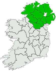
 Croaghgorm Location in Ireland | |
| Location | County Donegal, Ireland |
| Range | Bluestack Mountains |
| OSI/OSNI grid | G948895 |
| Coordinates | 54°45′15″N 8°04′52″W / 54.754171°N 8.081031°WCoordinates: 54°45′15″N 8°04′52″W / 54.754171°N 8.081031°W |
Croaghgorm or Bluestack (from Irish: an Chruach Gorm, meaning "the blue stack")[1] is a 674-metre (2,211 ft) mountain in County Donegal, Ireland. It is the highest of the Blue Stack Mountains (or Croaghgorms) and the third-highest mountain in County Donegal.[1]
On 31 January 1944, during World War II, a Royal Air Force (RAF) Sunderland plane crashed on the mountain. Seven RAF crewmen from 228 Squadron were killed. Wreckage from the plane can still be seen on the mountain's slopes. A memorial plaque was unveiled in 1988.[1]
See also
References
- ↑ 1.0 1.1 1.2 1.3 1.4 Croaghgorm MountainViews. Retrieved: 2013-03-19.
- ↑ Peakbagger
| |||||||||||||||||||||||||||||||||||||||||||||||||
| ||||||||||