Crag Hill (Yorkshire)
| Crag Hill | |
|---|---|
 The summit triangulation point with Mickle Fell in the background | |
| Elevation | 682 m (2,238 ft) |
| Location | |
 Crag Hill | |
| OS grid | SD692833 |
| Coordinates | 54°14′40″N 2°28′27″W / 54.24446°N 2.47413°WCoordinates: 54°14′40″N 2°28′27″W / 54.24446°N 2.47413°W |
| Topo map | OS Landranger 98 |
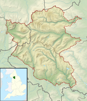
Crag Hill is on the western edge of the Yorkshire Dales in northern England, not to be confused with the higher Crag Hill elsewhere in the county of Cumbria. It lies on the boundary of the Yorkshire Dales national park, but its summit is in Cumbria. It is part of a ridge including the neighbouring fells of Great Coum and Gragareth. The summit of Crag Hill is about 1 kilometre away from the top of Great Coum, the latter being the highest point on the ridge at 687 m.
All three hills may be included in a single circular walk from High Moss near Whernside on the Ingleton to Dent road. The views are extensive, with panoramas of the Yorkshire Dales, Howgill Fells, the Pennines and the Lake District beyond.