Corop, Victoria
"Corop" redirects here. For the Dutch regional area, see COROP.
| Corop Victoria | |
|---|---|
|
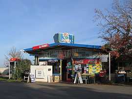
General store | |
 Corop | |
| Coordinates | 36°27′0″S 144°47′0″E / 36.45000°S 144.78333°ECoordinates: 36°27′0″S 144°47′0″E / 36.45000°S 144.78333°E |
| Population | 269 (2011 census)[1] |
| Postcode(s) | 3559 |
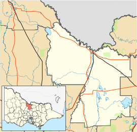
| Location | |
| LGA(s) | Shire of Campaspe |
| State electorate(s) | |
| Federal Division(s) | Murray |
Corop is a town in the Goulburn Valley region of Victoria, Australia. The town is in the Shire of Campaspe and on the Midland Highway, 178 kilometres (111 mi) north of the state capital, Melbourne. At the 2011 census, Corop and the surrounding area had a population of 269, while the town itself claims a population of 33.[1][2]
Nearby the town is Lake Cooper and Greens Lake, both popular venues for aquatic activities. The town is home to as many holiday homes as permanent dwellings and the town is much larger in holiday times.[2]
Corop Post Office opened on 1 January 1868.[3]
References
| Wikimedia Commons has media related to Corop, Victoria. |
- ↑ 1.0 1.1 Australian Bureau of Statistics (31 October 2012). "Corop (State Suburb)". 2011 Census QuickStats. Retrieved 5 December 2014.
- ↑ 2.0 2.1 "Corop". Shire of Campaspe. Retrieved 5 December 2014.
- ↑ Premier Postal History. "Post Office List". Retrieved 2008-04-11.
| ||||||