Cordillera de Nahuelbuta
| Cordillera de Nahuelbuta | |
|---|---|
|
Araucaria araucana forest | |
| Highest point | |
| Peak | Alto Nahuelbuta |
| Elevation | 1,565 m (5,135 ft) |
| Geography | |
|
<div style="padding:2px 2px 5px 2px;> 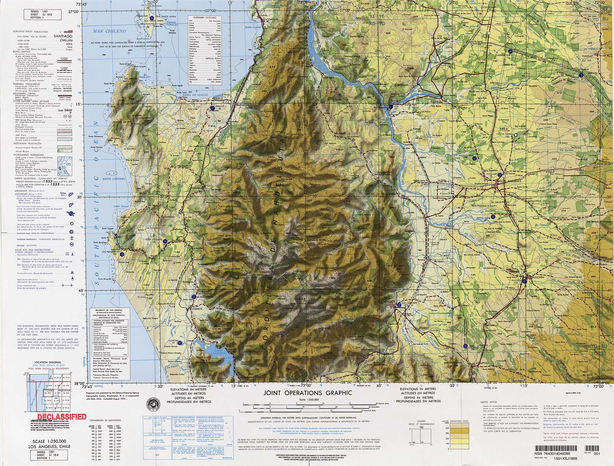 Map of the Nahuelbuta region | |
| Country | Chile |
| State/Province | Bío Bío Region, La Araucanía Region |
| Range coordinates | 37°43′S 73°02′W / 37.72°S 73.03°WCoordinates: 37°43′S 73°02′W / 37.72°S 73.03°W |
| Parent range | Cordillera de la costa |

The Nahuelbuta Range or Cordillera de Nahuelbuta (Spanish pronunciation: [nawelˈβuta]) is a mountain range in Bio-Bio and Araucania Region, southern Chile. It is located along the Pacific coast and forms part of the larger Chilean Coast Range. The name of the range derives from the Mapudungun words nahuel (jaguar) and futa (big).
See also
- Chilean Coast Range
- Nahuelbuta National Park
- Valdivian Coastal Range