Cook, Ohio
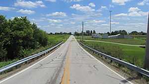
Looking east on Cook-Yankeetown Road towards US Highway 62 in Cook, Ohio.
| Cook, Ohio | |
|---|---|
| Unincorporated community | |
 Cook, Ohio Location of Cook, Ohio | |
| Coordinates: 39°40′59″N 83°18′26″W / 39.68306°N 83.30722°W | |
| Country | United States |
| State | Ohio |
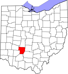
| Counties | Fayette |
| Elevation[1] | 909 ft (277 m) |
| Time zone | Eastern (EST) (UTC-5) |
| • Summer (DST) | EDT (UTC-4) |
| ZIP code | 43143 |
| Area code(s) | 740 |
| GNIS feature ID | 1070722[1] |
Cook is an unincorporated community in Madison Township, Fayette County, Ohio, United States. It is located at 39°40′59″N 83°18′26″W / 39.68306°N 83.30722°WCoordinates: 39°40′59″N 83°18′26″W / 39.68306°N 83.30722°W,[2] along Cook-Yankeetown Road (Fayette County Highway 34), just west of its intersection with U.S. Route 62/State Route 3.[3]
The Cook Post Office was established on January 20, 1885, but was discontinued on March 31, 1933. The mail service is now sent through the Mount Sterling branch.[4]
References
- ↑ 1.0 1.1 "US Board on Geographic Names". United States Geological Survey. 2007-10-25. Retrieved 2008-01-31.
- ↑ U.S. Geological Survey Geographic Names Information System: Cook, Ohio
- ↑ Rand McNally. The Road Atlas '06. Chicago: Rand McNally, 2006, 80.
- ↑ U.S. Geological Survey Geographic Names Information System: Cook Post Office
| |||||||||||||||||||||||||||||||||