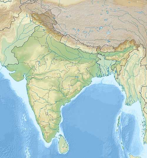
Cooch Behar Airport
| Cooch Behar Airport কোচবিহার বিমানবন্দর | |||||||||||
|---|---|---|---|---|---|---|---|---|---|---|---|
 Cooch Behar | |||||||||||
| Summary | |||||||||||
| Airport type | Public | ||||||||||
| Operator | Airports Authority of India | ||||||||||
| Serves | Cooch Behar | ||||||||||
| Location | Cooch Behar, India | ||||||||||
| Elevation AMSL | 138 ft / 42 m | ||||||||||
| Coordinates | 26°30′00″N 089°40′00″E / 26.50000°N 89.66667°E | ||||||||||
| Runways | |||||||||||
| |||||||||||
|
Sources[1] | |||||||||||
Cooch Behar Airport (IATA: COH, ICAO: VECO)[1] is located at Cooch Behar, West Bengal, India and serves the greater Assam-Bengal border area.[2]
Facilities
The airport is located at an elevation of 138 feet (42 m) above mean sea level. It has one runway designated 04/22 with an asphalt surface measuring 3,500 by 100 feet (1,067 × 30 m) without Instrument landing system.[3]
Airlines and destinations
No scheduled services at this time.
Charter airlines
| Airlines | Destinations |
|---|---|
| Deccan Aviation | Kolkata |
| Northeast Shuttles | Guwahati, Kolkata[4][5] |
References
- ↑ 1.0 1.1 "ICAO Location Indicators by State" (PDF). International Civil Aviation Organization. 2006-01-12.
- ↑ http://www.aai.aero/allAirports/cooch_behar.jsp
- ↑ http://worldaerodata.com/wad.cgi?id=IN00481&sch=VECO
- ↑ "November plan for flight take-off". The Telegraph (Calcutta, India). 2009-09-23.
- ↑ http://www.deccanair.com/shuttlemap.html
External links
See also
| ||||||||||||||||||||||||||||||||||||||