Clarinda, Victoria
| Clarinda Melbourne, Victoria | |||||||||||||
|---|---|---|---|---|---|---|---|---|---|---|---|---|---|
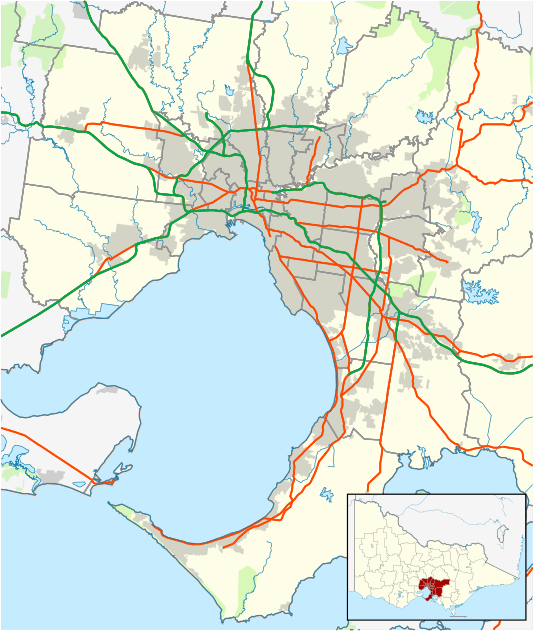 Clarinda Location in metropolitan Melbourne | |||||||||||||
| Coordinates | 37°56′28″S 145°06′11″E / 37.941°S 145.103°ECoordinates: 37°56′28″S 145°06′11″E / 37.941°S 145.103°E | ||||||||||||
| Population | 7,461 (2011 census)[1] | ||||||||||||
| • Density | 2,016/km2 (5,220/sq mi) | ||||||||||||
| Postcode(s) | 3169 | ||||||||||||
| Area | 3.7 km2 (1.4 sq mi) | ||||||||||||
| Location | 19 km (12 mi) from Melbourne | ||||||||||||
| LGA(s) | City of Kingston | ||||||||||||
| State electorate(s) | Clarinda | ||||||||||||
| Federal Division(s) | Hotham | ||||||||||||
| |||||||||||||
Clarinda is a suburb in Melbourne, Victoria, Australia, 19 km south-east of Melbourne's central business district.[2] Its local government area is the City of Kingston. At the 2011 Census, Clarinda had a population of 7,461.
History
The area was once coastal heathland and first occupied by John O'Shannessy during the early 1840s, who took a squatting licence to encompass a 40,000-acre (160 km2) block, around suburbs known today as Clarinda, Clayton South, Dingley and Heatherton. O’Shannessy later passed on his licence to John and Richard King, in 1846, which saw the transformation of the area.[3]
The area was originally called Bald Hills but because there were many places of the same name, it was changed to Bayview then later Clarinda.[4]
Clarinda Post Office opened on 13 September 1911 and closed in 1971. When the suburb was developed it reopened in 1984.[5]
Clarinda is now a very multicutural suburb with existing communities from India, Greece, Cambodia, Sri Lanka and Vietnam.
Education
- Clarinda Primary School
- Heatherton Christian College
Transport
- Clarinda is accessible by a number of Metlink bus routes servicing the area.
References
- ↑ Australian Bureau of Statistics (31 October 2012). "Clarinda (State Suburb)". 2011 Census QuickStats. Retrieved 21 June 2012.
- ↑ http://www.postcodes-australia.com/areas/vic/mulgrave/clarinda
- ↑ Blended Voices: History of Clarinda, Oakleigh South and Clayton South
- ↑ http://highriser.blogspot.com/2010/02/clarinda_22.html
- ↑ Premier Postal History, Post Office List, retrieved 11 April 2008