Chhuxlla Willk'i
| Chhuxlla Willk'i | |
|---|---|
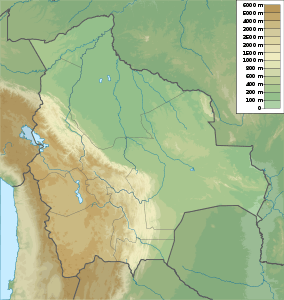
 Chhuxlla Willk'i Location within Bolivia | |
| Elevation | 4,664 m (15,302 ft)[1] |
| Location | |
| Location |
Bolivia La Paz Department |
| Range | Andes, Chilla-Kimsa Chata |
| Coordinates | 16°43′08″S 68°42′08″W / 16.71889°S 68.70222°WCoordinates: 16°43′08″S 68°42′08″W / 16.71889°S 68.70222°W |
Chhuxlla Willk'i (Aymara chhuxlla grass, weed, pasture or a kind of barley, willk'i gap,[2] "pasture gap" or "barley gap", also spelled Chojlla Willkhi) is a 4,664-metre (15,302 ft) high mountain in the Chilla-Kimsa Chata mountain range in the Andes of Bolivia. It lies in the La Paz Department, Ingavi Province, Jesús de Machaca Municipality. Chhuxlla Willk'i is situated south-east of the 4,737-metre (15,541 ft) high mountain named Qala Cruz (Khala Cruz) and Ch'alla Qullu ("sand mountain", Challa Kkollu), and north-east of a 4,522-metre (14,836 ft) high mountain which is also called Qala Cruz.[1][3]
References
- ↑ 1.0 1.1 IGM map 1:50,000 5843-I Sacacani
- ↑ Radio San Gabriel, "Instituto Radiofonico de Promoción Aymara" (IRPA) 1993, Republicado por Instituto de las Lenguas y Literaturas Andinas-Amazónicas (ILLLA-A) 2011, Transcripción del Vocabulario de la Lengua Aymara, P. Ludovico Bertonio 1612 (Spanish-Aymara-Aymara-Spanish dictionary)
- ↑ "Jesús de Machaca". INE, Bolivia. Retrieved October 25, 2014. (unnamed)
