Cheshunt, Victoria
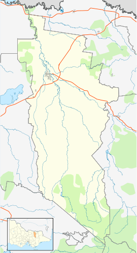
Cheshunt is a small rural village situated in the Upper King Valley in north-east Victoria, Australia. It is located about 50 km from Wangaratta and is close to the Alpine National Park. At the 2011 census, Cheshunt and the surrounding area had a population of 256.[1]
Cheshunt Post Office opened on 2 August 1886.[2]
The Cheshunt post office now operates out of the general store/ takeaway food shop. [3]
Golfers play at the course of the Whitfield and District Golf Club.[4]
Following the closure of the small local primary school sometime in the 70's/80's, primary aged children must now travel to the Whitfield Primary school a short distance up the road.
Cheshunt also has a local public/ memorial hall and several wineries in the immediate area. [5] [6]
A popular local recreational and fishing area is Lake William Hovel further up the valley [7]
References
- ↑ 1.0 1.1 Australian Bureau of Statistics (31 October 2012). "Cheshunt (State Suburb)". 2011 Census QuickStats. Retrieved 2 December 2014.
- ↑ Premier Postal History, Post Office List, retrieved 2008-04-11
- ↑ http://www.visitwangaratta.com.au/accom_result1/cheshunt-general-store
- ↑ Golf Select, Whitfield and District, retrieved 2009-05-11
- ↑ http://www.chrismont.com.au
- ↑ http://www.politiniwines.com.au/estore/about-us
- ↑ http://www.g-mwater.com.au/water-resources/storages/lakewilliamhovell
External links
| ||||||