Chemin des Révoires
| Chemin des Révoires | |
|---|---|
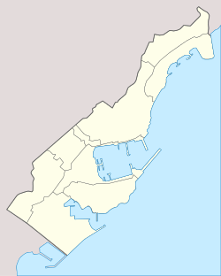 Chemin des Révoires Location in Monaco (on the border with France) | |
| Elevation | 162 m (531 ft) |
| Prominence | 0 (slope point)[1] |
| Listing | Country high point |
| Location | |
| Location | Monaco - France border |
| Range | Maritime Alps |
| Coordinates | 43°44′4.45″N 7°24′46.3″E / 43.7345694°N 7.412861°ECoordinates: 43°44′4.45″N 7°24′46.3″E / 43.7345694°N 7.412861°E |
The Chemin des Révoires is a pathway within Les Révoires district of the Principality of Monaco.
Features
The highest point in Monaco, at 162 metres (528 feet) above sea level, is situated on this pathway, on the slopes of Mont Agel, a mountain whose summit is situated on the French side. A proportion of the Principality's territory is very steep, being geographically part of the Alps which extend to the Mediterranean Sea.
References
- ↑ "Chemin des Révoires, Monaco/France". Peakbagger.com. Retrieved 2014-08-02.
See also
- Geography of Monaco
External links
- (French) Chemin des Révoires, Archeo Alpi Maritimi.