Chelles, Seine-et-Marne
| Chelles | |
|---|---|
 | |
 Location (in red) within Paris inner and outer suburbs | |
| Coordinates: 48°53′00″N 2°36′00″E / 48.8833°N 2.6000°ECoordinates: 48°53′00″N 2°36′00″E / 48.8833°N 2.6000°E | |
| Country | France |
| Region | Île-de-France |
| Department | Seine-et-Marne |
| Arrondissement | Torcy |
| Canton | Chelles |
| Intercommunality | Marne et Chantereine |
| Government | |
| • Mayor (2008–2014) | Jean-Paul Planchou |
| Area1 | 16.3 km2 (6.3 sq mi) |
| Population (2007)2 | 51,035 |
| • Density | 3,100/km2 (8,100/sq mi) |
| INSEE/Postal code | 77108 / 77500 |
| Elevation | 36–106 m (118–348 ft) |
|
1 French Land Register data, which excludes lakes, ponds, glaciers > 1 km² (0.386 sq mi or 247 acres) and river estuaries. 2 Population without double counting: residents of multiple communes (e.g., students and military personnel) only counted once. | |
Chelles is a commune in the eastern suburbs of Paris, France. It is located in the Seine-et-Marne department in the Île-de-France region 18 km (11 mi) from the center of Paris.
History

Paleolithic artefacts were discovered by chance at Chelles by the pioneering nineteenth-century anthropologist Louis Laurent Gabriel de Mortillet (1821–1898); he named the corresponding cultural stage of the Paleolithic after the commune: «Chellean», nowadays known as «Oldowan».
At the Merovingian villa of Calae the abbey of Notre-Dame-des-Chelles was founded by Balthild, a seventh-century queen of the Franks. It was largely demolished at the time of the French Revolution.
Geography
There are two main streets in Chelles, Avenue Foch and Avenue de la Résistance.
Demographics
The inhabitants are called Chellois.
Transport
Chelles is served by Chelles – Gournay station on Paris RER line ![]() and on the Transilien Paris – Est suburban rail line
and on the Transilien Paris – Est suburban rail line ![]()
![]() .
.
Gallery
-

Parc Emile Fouchard
-
Avenue de la Résistance
-
-

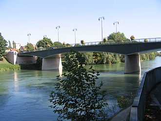
Île Refuge, in the Marne river, is part of the Local Nature Reserve of the islands of Chelles
-

Chelles-Gournay train station
-

Where Roi Chilpéric was assassinated
-

Georges Brassens Chelles Library
-

Saint-André Church and Cemetery
-

Curie nursery
See also
References
External links
| Wikimedia Commons has media related to Chelles, Seine-et-Marne. |
- Official website (French)
- 1999 Land Use, from IAURIF (Institute for Urban Planning and Development of the Paris-Île-de-France région) (English)
- French Ministry of Culture list for Chelles (French)
- Map of Chelles on Michelin (English)