Charles Hill, Botswana
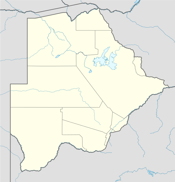
Charles Hill is a village in Gantsi District of Botswana. It is located close to the Namibian border. Charles Hill is the second-largest village in Gantsi District, with a population of 1,859 in 2001 census.[1] Charles Hill is the seat of the Charles Hill sub-District, established separately from Gantsi District administratively in 2004. Although the limits of the sub-District have as yet to be clearly defined it generally is bordered to the north by the Trans-Kalahari Highway, the west by Namibia, to the east by Botswana Highway A2 and to the south by Kgalagadi District.The inhabitants are made up of a variety of different groups living side by side and in harmony with each other,they are;The Herero,Bakgalagadi,Basarwa,Batlharo(A tribe whose mother-tongue is Setswana),Coloureds and lastly the Nama People.Some of the developments in the village include a primary school,a junior secondary school,a hospital,a post office,some Rural Administration Centre offices which belong to the local government(known as the council),pre-schools,hair salons and Engen filling station which is conveniently located next to the main tarred road from Gantsi to Mamuno.There are eight villages and two settlements lying within the sub-District, Chobokwane, Tsootsha (also known as Kalkfontein), Karakubis, Kanagas, New Xanagas, Charles Hill, Makunda, Koke (also called Kuke), Ncojane and Metsimantsho. An estimated 200 cattle posts lie within the sub-District but outside village limits.
References
- ↑ "Distribution of population by sex by villages and their associated localities: 2001 population and housing census". Archived from the original on 2007-11-24. Retrieved 2007-12-11.
| ||||||||||||

r
Coordinates: 22°16′35″S 20°05′34″E / 22.27639°S 20.09278°E