Chareil-Cintrat
| Chareil-Cintrat | |
|---|---|
|
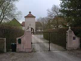
Entrance to La Rivière | |
 Chareil-Cintrat | |
|
Location within Auvergne region  Chareil-Cintrat | |
| Coordinates: 46°16′03″N 3°13′16″E / 46.2675°N 3.2211°ECoordinates: 46°16′03″N 3°13′16″E / 46.2675°N 3.2211°E | |
| Country | France |
| Region | Auvergne |
| Department | Allier |
| Arrondissement | Moulins |
| Canton | Chantelle |
| Intercommunality | Pays Saint-Pourcinois |
| Government | |
| • Mayor (2008–2014) | Marc Dandolo |
| Area1 | 12.77 km2 (4.93 sq mi) |
| Population (2008)2 | 334 |
| • Density | 26/km2 (68/sq mi) |
| INSEE/Postal code | 03059 / 03140 |
| Elevation |
241–342 m (791–1,122 ft) (avg. 231 m or 758 ft) |
|
1 French Land Register data, which excludes lakes, ponds, glaciers > 1 km² (0.386 sq mi or 247 acres) and river estuaries. 2 Population without double counting: residents of multiple communes (e.g., students and military personnel) only counted once. | |
Chareil-Cintrat is a commune in the Allier department in central France.
Geography
The river Bouble flows northeast through the commune.
Population
| Historical population | ||
|---|---|---|
| Year | Pop. | ±% |
| 1962 | 445 | — |
| 1968 | 479 | +7.6% |
| 1975 | 378 | −21.1% |
| 1982 | 316 | −16.4% |
| 1990 | 311 | −1.6% |
| 1999 | 317 | +1.9% |
| 2008 | 334 | +5.4% |
See also
References
| Wikimedia Commons has media related to Chareil-Cintrat. |