Chapman Peak
| Chapman Peak | |
|---|---|
 Chapman Peak from Summit Lake in July 2011 | |
| Elevation | 9,406 ft (2,867 m)[1] |
| Prominence | 2,206 ft (672 m)[1] |
| Parent peak | Kintla Peak[1] |
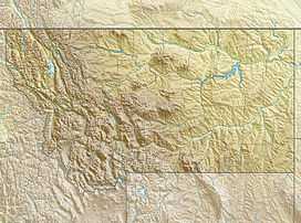
| Location | |
 Chapman Peak | |
| Range | Livingston Range |
| Coordinates | 48°57′47″N 114°01′26″W / 48.96306°N 114.02389°WCoordinates: 48°57′47″N 114°01′26″W / 48.96306°N 114.02389°W[2] |
| Topo map | USGS Mount Carter, MT |
Chapman Peak (9,406 feet (2,867 m)) is located in the Livingston Range, Glacier National Park in the U.S. state of Montana. Chapman Peak is situated along the Continental Divide.[3]
See also
References
- ↑ 1.0 1.1 1.2 "Chapman Peak, Montana". Peakbagger.com. Retrieved 2010-08-07.
- ↑ "Chapman Peak". Geographic Names Information System. United States Geological Survey. Retrieved 2010-08-07.
- ↑ "Chapman Peak, Montana" (Map). TopoQuest (USGS Quad). Retrieved 2010-08-07.