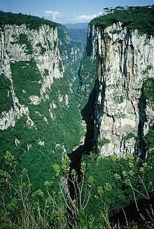
Chapada dos Guimarães National Park

The Chapada dos Guimarães National Park (Parque Nacional da Chapada dos Guimarães in Portuguese) is a national park in the Brazilian state of Mato Grosso. It is located between 15°10'- 15º30' S and 55°40' - 56°00' W.
Chapada is a Brazilian word that means a region of steep cliffs, usually at the edge of a plateau. The Chapada dos Guimarães edge is visible in this satellite photo (Google).
The geographical center of South America is located in the Park.
